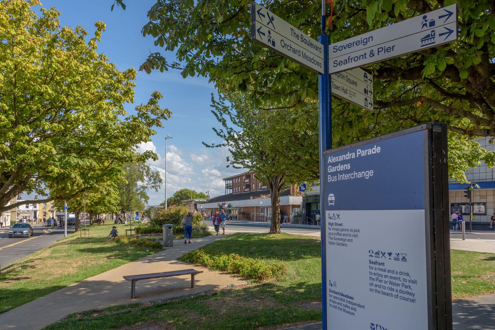
Weston boasts a naturally wide bay, so the town is spread out. From Royal Sands in the south, to Birnbeck Pier in the north, the wooded hill in the north east and Weston-super-Mare Railway Station to the east.
As part of our wayfinding improvements, we will
- improve signage and install design features to help people to find their way around the area
- improve the provision of street information
- spruce up and extend the town’s pedestrian signage system with attractive designs
With a focus on active travel – including cycling and walking – we want to encourage people to move around. From the town centre, to the seafront and up into the woodland, we want to encourage people to discover the many hidden treasures on offer.
We are working closely with Weston-super-Mare Town Council, which provides the visitor information service for Weston.

